Households in Baotou's district seen on digital 3D platform

The digital twin real 3D image of Hondlon district in Baotou. [Photo/Baotou news network]
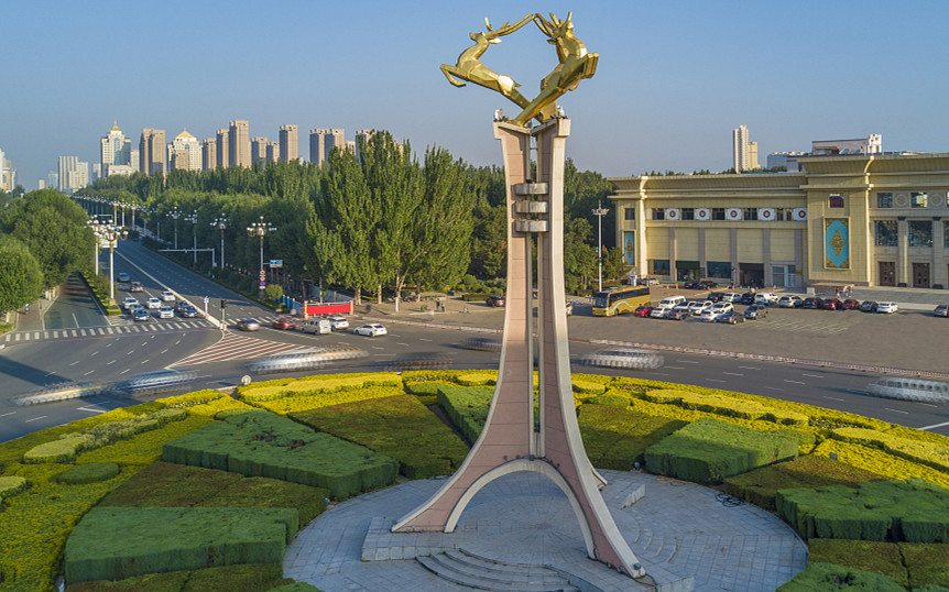
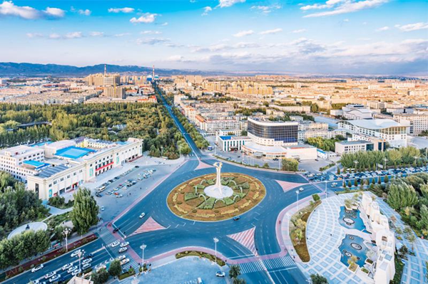
The Smart Hondlon Data Center recently released a set of digital twin 3D pictures, showing that its digital twin 3D geographic information platform in Hondlon district has taken initial shape, and can be used in construction scenarios.
Through the map, we can see every road and street in the district. By zooming in and adjusting viewing settings, we can find neighborhoods, buildings, and even individual households.
It is understood that the digital twin real-world three-dimensional construction results play a fundamental supporting role in modernizing the national governance system and governance capacity.
The utilization of 3D modeling in urban application scenarios is quite extensive, and can be applied to urban construction. They can be used for urban planning and design, construction project management, geological disaster monitoring and early warning, traffic monitoring and other urban governance.
Additionally, it can also be used in tourism, culture, education, emergency response, commerce and other social aspects.
The digital twin 3D geographic information platform divided Hondlon district's 110-square-kilometer land into 901 grids. A custom-developed household data system was adopted by the platform to form a three-dimensional database, access AI video surveillance and hotline events.


 Sketching and creation tour in Baotou