Guyang county

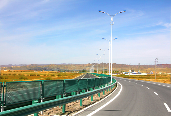
The modern roads stretch out in Guyang county in Baotou [Photo provided to chinadaily.com.cn]
Guyang county is located in the central part of North China’s Inner Mongolia autonomous region and to the northern side of Daqing Mountain.
It covers an area of 5,025 square kilometers and has a population of 213,000. The rural population of Guyang county is 171,000, which accounts for 80 percent of the county’s total population.
The total length of highways in the county is currently 2,019 kilometers, including 75 km of national highways, 159 km of provincial highways and 1,785 km of county and township highways.

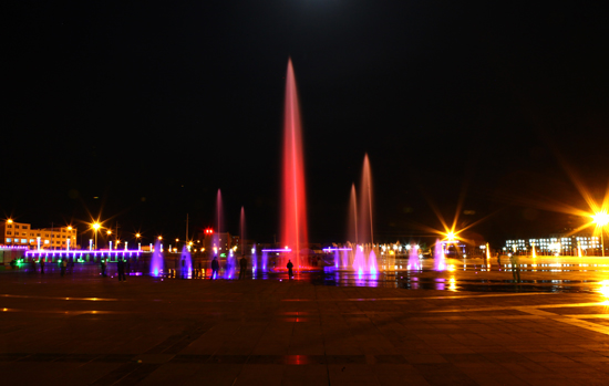
A light feature provides a halo of color in Guyang county at night. [Photo provided to chinadaily.com.cn]
The county is abundant in mineral resources. More than 50 minerals have been found in the county including iron, quartz, dolomite, gold, coal, pearlite and vermiculite.
The total installed capacity of wind power farms located there is 5 million kilowatts, with a further installed capacity of 2 million kW currently being developed.
The total annual solar radiation is 144.4 kilocalories per square centimeter, there are between 2,872 to 3,306 hours of annual sunshine, plentiful enough to develop solar power parks.
The county has been maintaininging steady economic growth.
In 2018, the county's regional GDP grew by 5.5 percent year-on-year. Investment in fixed assets in the same period increased by a whopping 39.7 percent. Total retail sales of consumer goods, meanwhile, increased by 6.4 percent on the previous year and the general public budget revenue increased by 8.4 percent.
The per capita disposable income of urban and rural residents reached 31,616 yuan ($4,517) and 13,797 yuan in 2018, an increase of 7.5 percent and 10 percent, respectively.
