Quick facts
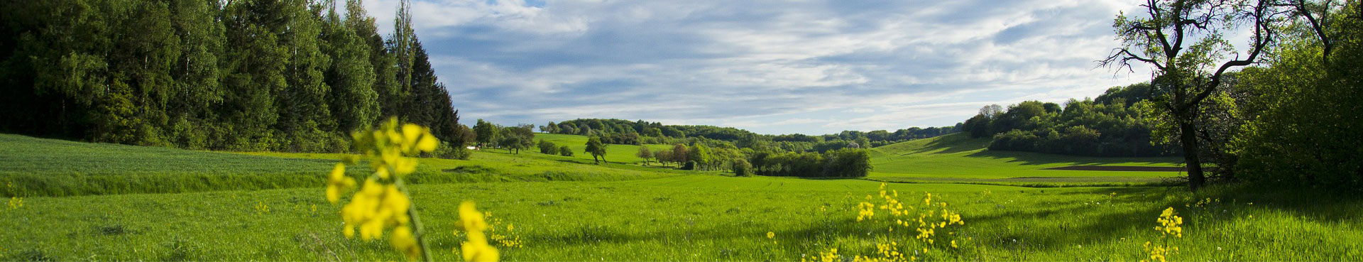
Inner Mongolia spans the northeast, north and northwest of China and borders Russia and Mongolia in the north with a boundary line as long as 4,221 kilometers, thus becoming an important frontier for China's opening to the outside world. It has an area of 1.183 million square kilometers, taking up 1/8 of that of the country and ranking the 3rd in China.
Read More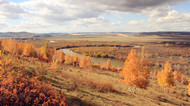 Forests and grasslands
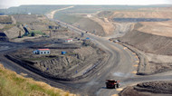 Minerals and coal
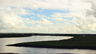 Water and wetlands
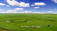 Animal husbandry
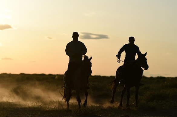
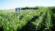 Agriculture
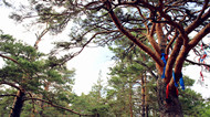 Animals and plants
Cities
Inner Mongolia autonomous region has nine cities – Hohhot, Baotou, Wuhai, Chifeng, Tongliao, Ordos, Hulunbuir, Ulaanqab and Bayannuur; and three leagues – Hinggan, Alshaa and Xiliin Gol.
CHOOSE A REGION FOR MORE INFORMATION:
Ulaanqab
Ulaanqab city administers Jining district; Fengzhen city, a county-level city; five counties - Zhuozi county, Huade county, Shangdu county, Xinghe county and Liangcheng city; and four banners -Qahar Right Wing Front banner, Qahar Right Wing Middle banner, Qahar Right Wing Rear banner and Siziwang banner.
Baotou
Located in the western part of Inner Mongolia autonomous region and adjacent to the Republic of Mongolia to its north and the Yellow River to its south, Baotou is the largest city in the autonomous region and an important transport hub.
Bayannuur
Bayannur city administers Linhe district; two counties, Wuyuan county and Dengkou county; and four banners - Urad Front banner, Urad Middle banner, Urad Rear banner and Hanggin Rear banner.
Ordos
Ordos city administers Dongsheng district; and seven banners - Dalad banner, Juungar banner, Otog Front banner, Otog banner, Hanggin banner, Uxin banner and Ejin Horoo banner.
Alshaa League
Alshaa League administers three banners - Alshaa Left banner, Alshaa Right banner and Ejin banner.
Wuhai
Wuhai city administers three districts - Haibowan district, Hainan district and Wuda district.
Hulunbuir
Hulunbuir is a prefecture-level city in North China’s Inner Mongolia autonomous region, with a total area of 252,777 square kilometers.
Hinggan League
Hinggan League administers two county-level cities, Ulanhot and Arshaan; three banners - Horqin Right Wing Front banner, Horqin Right Wing Middle banner and Jalaid banner; and Tuquan county.
Tongliao
Tongliao city administers Horqin district; one county-level city, Huolin Gol; Kailu county; and five banners, Horqin Left Wing Middle banner, Horqin Left Wing Rear banner, Hure banner, Naiman banner and Jarud banner.
Chifeng
Chifeng city administers three districts -Hongshan, Yuanbaoshan and Songshan; two counties, Ningcheng county and Linxi county; and seven banners - ArHorqin banner, Bairin left banner, Bairin right banner, Hexigten banner, Ongniud banner, Harqin banner and Aohan banner.
Xiliin Gol League
Xiliin Gol League administers Ereenhot, a city with independent planning statue; Xiliinhot, a county-level city; Duolun county; and nine banners - Abag banner, Sonid Left banner, Sonid Right banner, Dong Ujimqin banner, Xi Ujimqin banner, Taibus banner, Xianghuang banner, Zhengxiangbai banner and Zhenglan banner.


